About this project This project is to create a low cost back-packable system for taking high resolution...
About this project
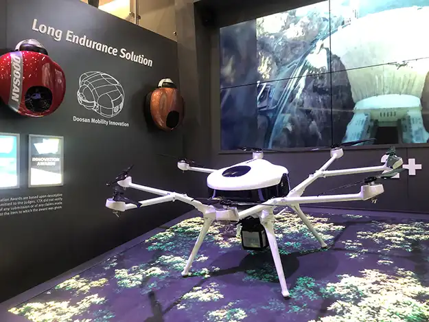
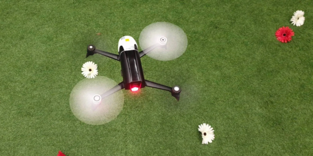
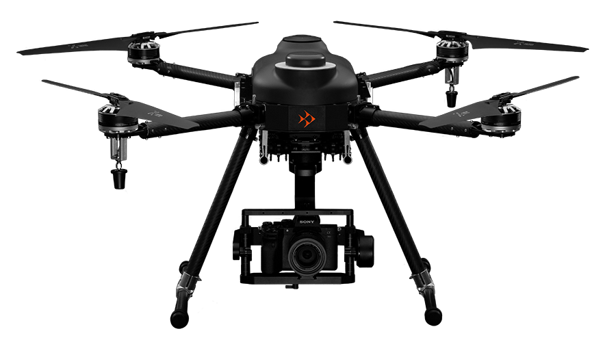
This project is to create a low cost back-packable system for taking high resolution images in remote areas. It will use hex rotor UAVs and small autonomous planes flown on waypoints set in a computer. The planes will be bungee launched and skid landing allowing for landings on different terrain and will be built out of high density foam to absorb significant shock.
All high resolution images are taken with a camera that has a gps board attached to log the locations and flight line of the UAV.
We are targeting the applications of fish and wildlife habitat mapping (damages done by grazing,) remote real estate development, logging, mining, remote power sources, agriculture studies, and search and rescue.
We would like to incorporate biotelemtry tracking into this as well down the line for spawning populations. I have many years experience of "on the ground experience." with fish studies and bio-telemetry.
We are also developing uses in its present state to take high resolution images, near infrared pictures of vegetation, and infrared pictures in combinations. And can fly these in FPV (first person video) to get to hard to locate spots.
Risks and challenges
Making the system easy enough that a person with less than professional flying skills can confidently set the system up, get the required images they are looking for with out destroying or loosing the equipment.


 additional samples of high resolution imagery
