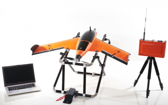
| Item | Specification |
|---|---|
| Wingspan | 1.00 m (3.28 ft) |
| Weight | 2.5 Kg (5.5 lb) (MAX.) |
| Ceiling Altitude | 2,000 m |
| Task Length | 40 ~ 45 min |
| Cruising speed | 72 - 90 Km/Hr (40 - 50 Knots) |
| Weather | Beaufort Scale 4 (20 - 28 km/h) (11 - 16 knots) |
| Take off | Launch Rack + Bungee cord |
| Landing | Parachute |
| Propulsion | Blushless Electric Motor |
| Frequency | 433 / 868 / 915 MHz (hopping) (Customizable) |
| Ground Equipment | Laptop (Optional) |
| Battery | 8 Ah High Effect Li-Polymer Battery |
| Endurance | 40~50 mins (Aerial Mapping 30 mins) |
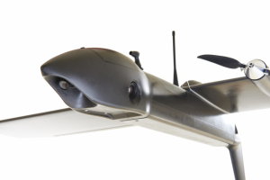
| Camera | Sony Alpha 5100 Camera + 16mm Lens 24.3 Mega Pixels or equivalent |
| Resolution (GSD) | 5 cm |
| Photo Area (sqKm) | 3 sqkm |
| Height above take off location (AGL) | 210 m |
| Front Overlap (60-80%) | 66 |
| Side Overlap (15-60%) | 50 |
| Application |
Aerial Mapping Disaster Emergency Works Supervision Agricultural Survey Forest Monitoring |