We provide aerial data services for assessing crop health, plant vigour, potential yield, weeds, pests, diseases and most importantly to enable farmers to make strategic decisions at every stage of production.
We start with the outcome in mind to provide high level, high quality, decision making information for the client to act on.
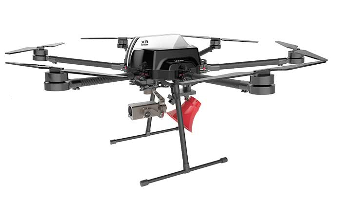
Fixed Wing UAVs. Fixed-wing UAVs are the best choice to survey a lot of ground, fast. The SciAero FarScight can cover up to 10 times the acreage that a typical quadcopter can cover in a single flight and captures the same survey-grade 3D / topographic detail that a quadcopter does. Fixed wing drones often carry more payload than a multi-rotor – which means more sensors – so more information can be captured in a single flight. These are typically used for broadacre crops such as wheat, barley, canola, sugar cane and sorghum.
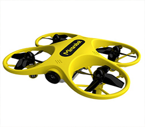
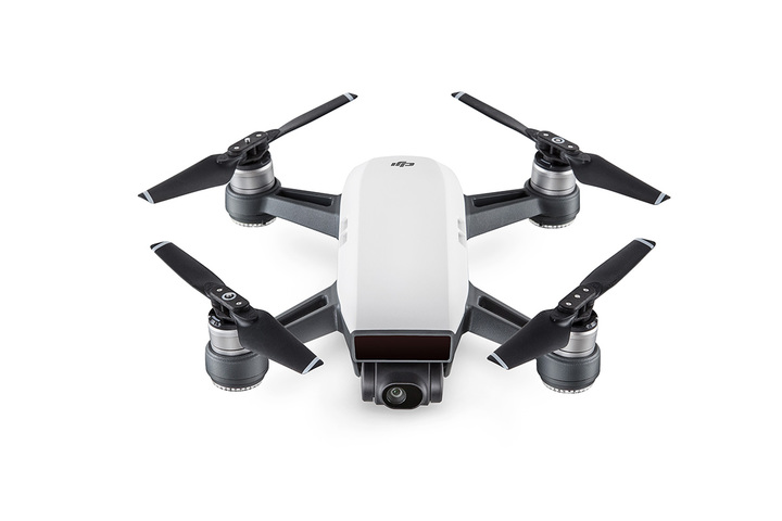
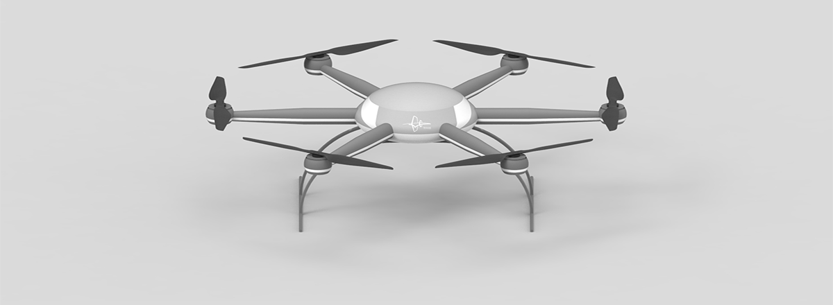
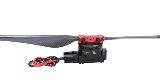
Multirotors. A multirotor drone is a better choice than a fixed wing drone for close-in, precision, surveying spotting and tasks in precision agriculture. In precision agriculture, the goal of producing maximum yield is achieved by minimising variability of crop health within, and across, paddocks. Multi rotors are ideal for spot-checking known weak areas and trouble spots more closely. So, multi rotors are typically used for used for high value crops such as vineyards and stone fruit orchards where, for example, irrigation leak or blockage detection is critical.
The Tradeoffs. Flying a multi rotor drone, low and slow, gives you far more control over every image shot. As a result, accuracy and resolution are often better than fixed wing UAVs can deliver. The trade-off is far less range and coverage per flight. Most multi rotor ag drones can’t cover more than 50 acres between charges / battery swaps.
Sensors.
SciAero has a range of sensors to capture visual, thermal/IR and multispectral, data down to a 2cm/pixel resolution. Hyperspectral and LIDAR sensors are also available from other service providers. When combined with truth of soil data, repeat flight data can be collated to track crop changes, the changes needed can then be quantified and costed.
Data Processing. Having captured the imagery, it is then processed to create survey quality contour and 3D maps, digital surface and terrain models, geotagged vegetation index maps, plant counts, plant height, moisture levels, soil temp and orthomosaics. That’s a lot of data processing producing outputs that a home PC probably can’t do, so SciAero can provide that as a service on site, at a farm, or overnight in the cloud if a datalink is available.
The Outputs. The index maps then generate prescription maps which can then be uploaded to the FMIS system or seeder, spreader, tractor, combine harvester or header for sowing, watering, fertilising, nitrogen optimisation, weed control yield monitoring and harvest timing. The data can be further processed using other index map solutions such as SMS, AgPixel, ArcGIS, and other GIS systems to produce other data ‘layers’.
智能无人机技术可捕获高分辨率地形建模以及体积和光谱信息
我们提供航空数据服务,用于评估作物健康,植物活力,潜在产量,杂草,害虫,疾病,最重要的是使农民能够在生产的每个阶段做出战略决策。
使用无人机的优势 更高精度:无人机摄像机采用厘米级图像,可以显示有关作物状况和任何异常的更多细节 高分辨率:对于希望进行有针对性的杂草控制或获得精确的地形来绘制喷水灭火系统的农民来说非常宝贵 更便宜的成像:对于面积不到50公顷的围场,无人机比卫星或有人驾驶飞机监视要便宜得多 早期问题检测:因为无人机可以更频繁地进行调查,所以可以更早地检测到水分不足,疾病,杂草,害虫和其他异常情况 等高线图:无人机可以绘制20厘米轮廓,用于轮廓耕作和播种,这是现在可持续农业的一个组成部分 整个围场观察:不是驾驶4WD或在周边骑ATV来观察大约5%的场地,现在可以使用无人机详细检查每个场地的100%。 减少干扰:无人机不会压缩土壤,通常不会干扰库存并在4WD或摩托车所用时间的一小部分内提供广泛的观察 更快的干预:上述两个优势使农民能够更快地发现问题并更快地做出反应,这可以为每个围场节省数千美元的作物损失 3D /体积数据:无人机图像可用于计算谷物和青贮饲料,水坝,洞,丘陵,小溪,侵蚀和异常斑块的体积。这些可以与红外图像进行比较,以检测密度问题,如热点拥挤的甜菜田或马铃薯箱,或识别轮廓问题,如南坡遮阳问题或优化灌溉和排水计划 更频繁的指数报告无人机为CCCI(冠层叶绿素含量指数),CWSI(作物水分胁迫指数)和NDVI(标准化差异植被指数)等关键指标提供了一种经济有效的农作物监测方式。 风险管理将降雨和产量历史的家庭记录与易于重复的无人机飞行数据相结合,存储和制表,农作物产量可以更准确地进行基准和预测,期货合约更加自信,种子和农场设备的融资更加充分合理,风险更小 短期管理:与高价值作物相比,在广阔的土地上,农业利润微薄。一个典型的家庭农民只有40个季节才能把事情做好,所以每一个季节都需要额外的知识。每周飞行一架无人机为种植,重植,施肥,前瞻性销售和收获提供基于证据的决策支持 长期管理:无人机产生的数据有助于农民更准确,更详细地了解其作物对其管理战略的反应,从而直接有助于更有效地利用有限的资源