


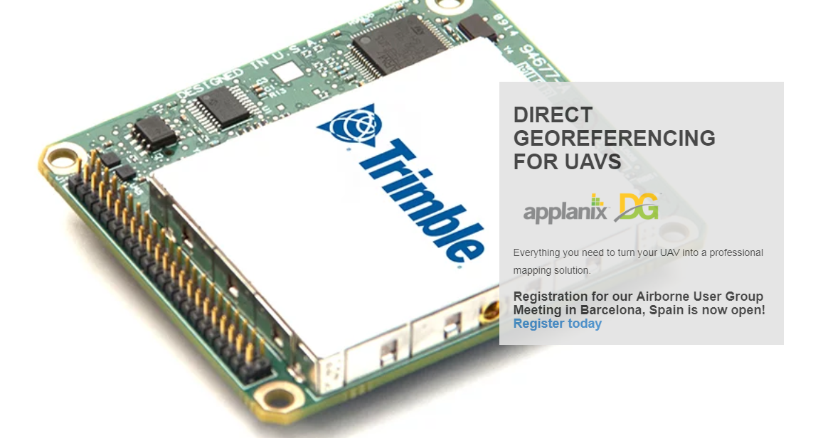
Reduce cost and improve efficiency of aerial survey from UAVs with Directly Georeferencing (What's DG?)!
GNSS-INERTIAL SYSTEMS
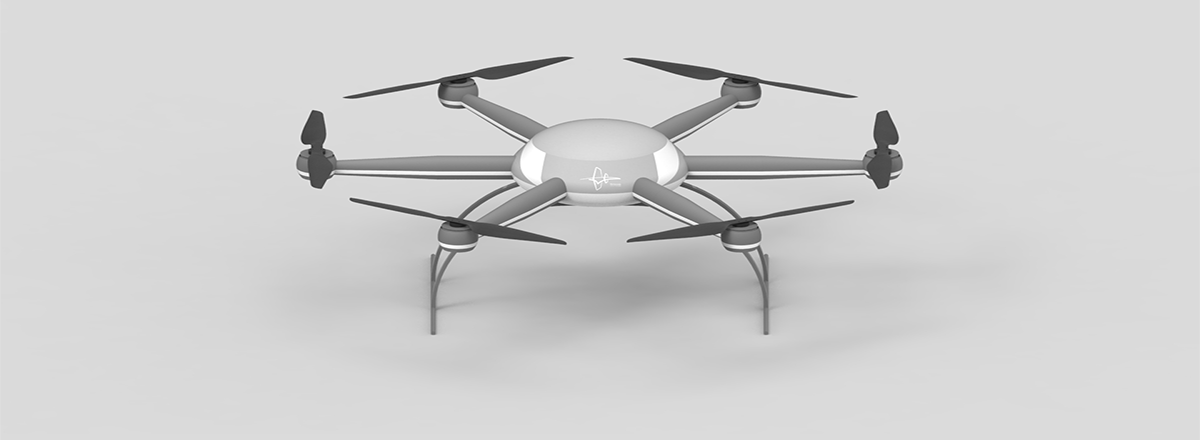
DG is used with cameras, LIDAR, and hyperspectral sensors on UAV’s for highly-efficient, automated mapping and surveying. Reduces - or even eliminates - GCPs, and reduces flight time and processing time required for generating final map products. The APX-UAV Product Line:
APX-15 UAV*:Single board GNSS-Inertial solution for DG from small UAVS
APX-15 EI UAV:Support for an external IMU for gimballed platforms
APX-18 UAV:Dual GNSS antenna configuration for low speeds/hovering, LiDAR
APX-20 UAV:External IMU for highest accuracy and higher altitude mapping
*Available with UASMaster -detailshere.
Trimble GNSS Smart Target Base Station
An easy to use, survey grade multi-frequency, multi-constellation GNSS reference station with a foam Ground Control Target and integrated carrying case.
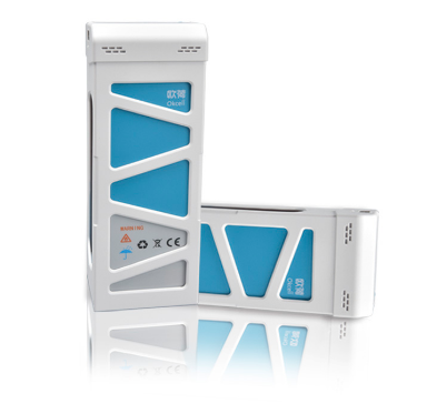
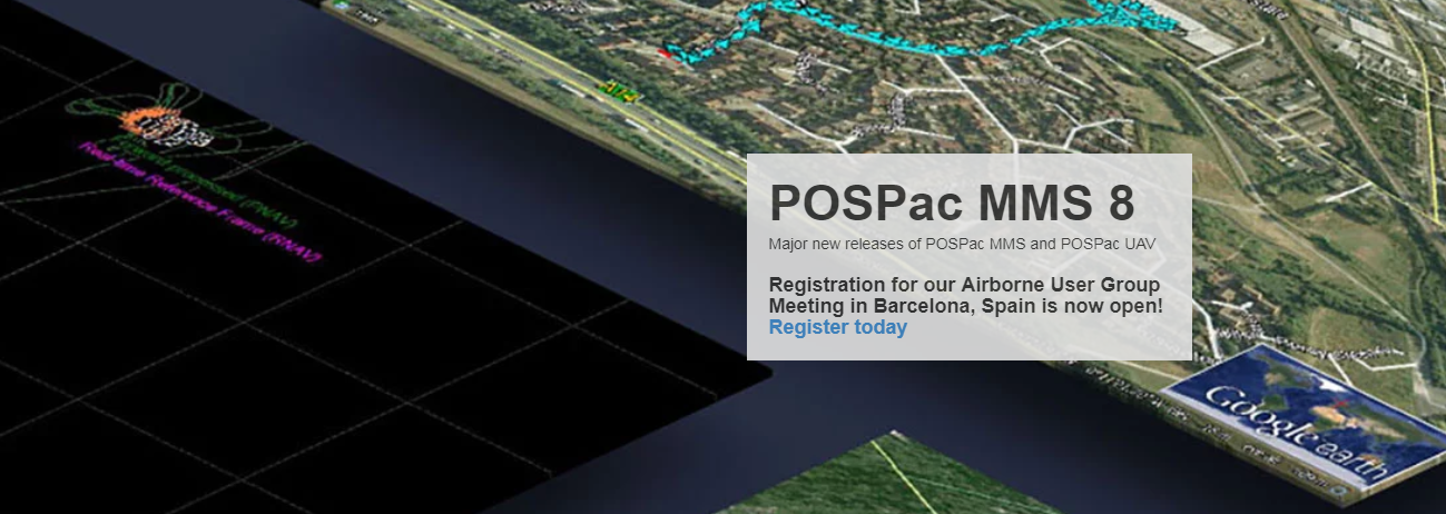
POSPac UAV, POSPac UAV Cloud
GNSS-aided inertial post-processing software for georeferencing data from the Trimble APX series of board sets. For more information, check the infosheets -POSPac UAVandPOSPac UAV Cloud.


")